Finally, i went to Mount Hotham! It was the final destination of our route network that i had not been to. So now when i start training on the Q400 in 2 weeks, i can tick the box..
Mount Hotham is 260nm south of Sydney. In relative terms, it is the same distance as Melbourne to Launceston. It is the highest elevation airport in Australia, at 4260ft. It's not particularly high comparatively to the rest of the world, or even Armidale, which is pretty much a daily event for me when i fly, at 3556ft.
So i don't know what else to say except it was fun, close to the mountains and windy. Better yet, here are some photos!
The load sheet for the flight. It was done in a dash 8-200 series. Someone asked me to take a photo of it on a previous comment. The flight plan we used is below for the flight.
Snow!
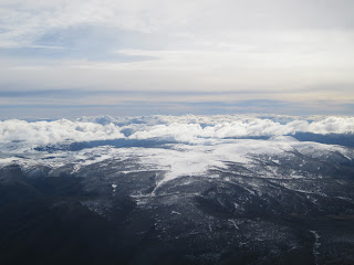
Mountains approaching Hotham.
Backtracking runway 11.
Skipper hard at work as always when i'm around.
The airport itself.
I think they were planning on sending jets in here once upon a time, but as far as i know it never happened.


Hey Mike.
ReplyDeleteIn regards to the flightplan picture, what do the Y1-Y7 represent, aswell as the two figures underneath (-30,-11) for Y3.. Reason i am asking is I am trying to duplicate it for flight simulation purposes and trying to make it realistic as possible. Also, is this the same type of flightplan/navlog you use on the Q400, or are you using a different type of CFP?
Hi James
ReplyDeleteThe Y1 is a strong headwind and the -70 is the headwind component we get from the SPFIB wind report from naips. So a Y7 is a really strong headwind. It's calculated as an estimate and we go conservative.
Email me at mike.lesser@gmail.com if you want